


Frigid temperatures hit Van Wert County
DAVE MOSIER/independent editor
Van Wert County residents are trying to keep warm with temperatures as cold as they have been in a number of years.
In fact, it’s so cold that the U.S. Postal Service has canceled mail delivery for the 458 zip code for Wednesday.
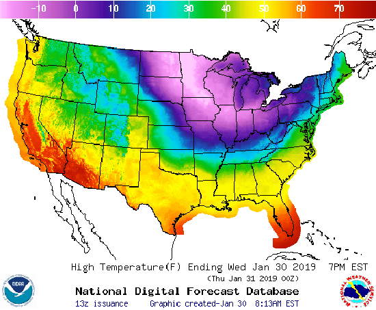
County Emergency Management Director Rick McCoy is calling for a high of 9 to 12 below zero today, with gusty winds and wind chills of at least 43 below zero. This evening, temperatures are expected to drop to 14 below zero, with wind chills of minus 35 degrees.
Tomorrow morning should bring an overnight low of 11 below zero, which is expected to increase to 4 above zero, with wind chills of 17 below zero. Thursday night should bring a chance of snow and a low of zero, while Friday temperatures should rise to 17 above zero, with snow likely.
McCoy recommends that business consider the safety of their employees in considering whether to be open today.
“I am recommending that people stay home if possible during this dangerous cold snap,” he said, adding that animals also need to be protected from the bitter cold temperatures.
McCoy noted that the cold temperatures will quickly cause frostbite — within 4 minutes, at 50 below zero — and are life-threatening for those who aren’t properly dressed and have skin exposed to the elements, or who stay outside for extended periods of time.
There is good news coming, though, for those already tired of the week’s bitterly cold weather. Things should start looking up on Saturday, with a warming trend that should bring relief from the frigid temps seen earlier in the week.
Saturday’s high is forecast for 38 degrees, with a low of 36 and showers that evening. Sunday’s high is expected to be a balmy 50 degrees, with a low of 43 that evening, and a nearly spring-like high of 55 on Monday.
POSTED: 01/30/19 at 8:57 am. FILED UNDER: News