


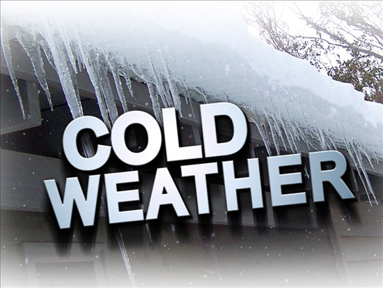
Polar Vortex again visiting VW County
Van Wert independent/EMA information
Getting used to the more balmy temperatures? Don’t, because winter has at least one more blast of frigid weather heading our way this week.
 According to Van Wert County Emergency Management Director Rick McCoy, a portion of the dreaded polar vortex will again make its way into Van Wert County, sending the mercury plunging 20-30 degrees below normal for this time in February.
Today’s high is expected to be about 22 degrees and breezy, with winds of 15-20 mph predicted. Tonight’s low should be around 11 degrees, with light snow in the forecast.
Tuesday morning’s weather should include some flurries and a high of 24 degrees, but an arctic air mass will then move in Tuesday night, bringing a low of 3 degrees, plus 20-mph winds that should create wind chills of -10 t0 -15 degrees below zero.
Wednesday’s high will only get to 13, with a low of 2 forecast for Wednesday evening. Thursday’s high should be around 19, again with a low of 2 degrees, while Friday should see a high of 20 and a low of 2.
Saturday’s high is forecast for 20 degrees, with a low of 3, while temperatures will be slightly warmer next week, with highs in the mid-20s and lows mostly in the teens.
Probably a good idea not to break out the bermuda shorts and tank tops just yet, if the National Weather Service is right.
In addition to the cold temperatures, flooding is also a possibility for low-lying areas of Van Wert County. The Weather Service has issued a river flood warning for the St. Marys River in Decatur, Ind., while Willshire will also see high water this week.
POSTED: 02/24/14 at 7:53 am. FILED UNDER: News